
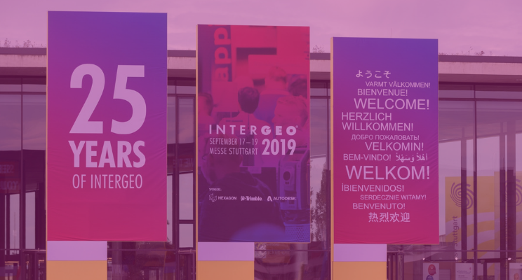
This year’s Intergeo brought to light some groundbreaking technology, a shift in priority and some awesome drone advancements. If you couldn’t join us in Stuttgart for the event, have no fear, we have summarised some of our key findings from the event below.
New laser scanners unveiled
Trimble had a fantastic Intergeo this year with the launch of their X7 3D scanner. They describe it as “a very simple solution but offers a lot of smart technology”. It’s perfect for fast and balanced performance in both indoor and outdoor environments, including industrial survey/tank calibration, civil infrastructure, general surveys, road intersection surveys, utilities, mining, and historical documentation and renovation.
Leica was not going to miss out on all the new laser scanner fun -- introducing their new mobile reality capture solution, the Leica BLK2GO. This handheld laser scanner allows for a much greater degree of mobility and the ability to scan areas that were previously impossible to reach. The CEO of Hexagon commented that the key environmental benefit of the scanner would be allowing them “not only [to] sustain growth for our businesses, but also this finite planet we all share…fewer resources, less waste, less pollution.”
Drones taking flight
It wouldn’t be a highlights reel of Intergeo if we didn’t mention any of the drones. Leading the drone displays was SenseFly with their eBee x drone, which was praised for optimising surveying workflows and executing centimetre-precise point clouds.
Revolutionary software — including Vercator!
It was a great week for cloud-based software, with several companies (including us!) formally promoting their cloud platform services. Intergeo 2019 gave us the opportunity to properly debut and demo Vercator Cloud. bringing our multi-staged algorithms specialised for targetless registration online. Vercator Cloud allows for faster registration of 3D laser scan data using cost-saving, virtual computing resources that enable remote collaboration and in-field registration.

Another big release was Cintoo’s unveiling of Cintoo Cloud, a powerful piece of software that features point cloud-to-3D mesh / 3D mesh-to-point cloud technology. Promising to improve ROI and efficiency throughout your laser scanning projects it is definitely one to watch over the coming months.
A software-driven future
An overarching theme throughout the event was the growing popularity of value-added software in the geospatial industry. The focus seems to be shifting from the raw capabilities of the hardware to the potential that can be unlocked through value-added software. Essentially, it is becoming more and more the case that the software is unlocking the hardware.
Intergeo 2019 was a thoroughly enjoyable event that brought to light some fantastic products, software and advancements in the geospatial industry. We look forward to seeing you all again in Berlin in 2020 to reflect on what promises to be an outstanding year.
Tags: Intergeo 2019
