
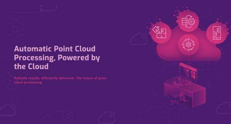
When we created Vercator, we wanted to make a registration platform that was different. We wanted to improve point cloud processing and make it readily available to anyone who needs it.
Surveyors, engineers and construction professionals need software that does its job — software that works around you, and not the other way round. We aim to live up to this promise.
This article is about helping you get the most out of our software. If you aren't using it already, check out our free trial.

1. Take advantage of the automation
Automating labour-intensive processes will drive improvement. The key to automation is accuracy, repeatability and quality. Point cloud registration software delivers this while also significantly reducing your data registration and processing time.
For processing and registration of point clouds, the challenges are enormous and benefit even greater. Registration requires the execution of several steps — taking a large number of scans and aligning each with precision. Removing manual oversight within that process is central to what makes Vercator the platform it is.
Parallel running
Vercator software is all about parallelising tasks and executing them simultaneously. Functionally, this delivers a vast number of scans registered simultaneously. When expanded into the cloud, the amount of simultaneous computing power available is infinitely scalable — and available on-demand.
Vercator can deliver efficiency improvements of 40% to 80% — depending on the size of the dataset.
You can build entire scan trees, walk away and deal with verification after the dataset has been processed. Even if your system is cloud-based, if it needs to pause for verification, you won't gain much from scaling computing power. Our algorithms automate the registration process and produce highly accurate alignment results. Measurable quality assurance checks are part of the service.
Reduced checking
The checks inherent in each stage removes the need for cross-checks during processing and limits the requirement to set scan parameters. The software automates a large number of the tasks and means the remaining manual operations can be front-loaded or postponed to post-registration review.
This combination of techniques not only reduces the total time costs of processing targetless data; it mitigates what inefficiencies remain by allowing scans to be queued up for hands-off processing.
Multi-stage vector analysis can do away with the need for artificial targets. It even delivers the same or better processing efficiencies when compared to the capabilities of traditional software.
Bringing together on-site and off-site
Being able to deliver measurable efficiency gains will put you ahead of your competitors. Consider both on-site operational efficiencies as well as in-office processing efficiencies. Key staff can then be deployed on the highest value tasks to deliver the best results.
2. Embrace the cloud
Vercator has a desktop version, but we built it with the cloud in mind. Cloud is at the centre of the digital transformation of the surveying profession. It redefines how we bring together people, data and processes to create value and better outcomes.
Design-in flexibility
Over the last few months, we have all learned that we can work digitally. In the past, there has been a suspicion that remote working discouraged productivity. Cloud technology will encourage surveyors to continue to embrace remote workflows even after social distancing has ended. But it also delivers massive processing efficiency, supplying easy access to scalable IT resources.
Easier collaboration with integrated sharing
With efficiency and collaboration high on the agenda, accessing and sharing data from a secure location is crucial. The cloud not only offers processing efficiencies. Once you have your data stored in the cloud, with the correct administration permissions, you can share from the cloud with colleagues and clients.
Point clouds have long been considered to be 'too large' to be stored and shared from the cloud. However, this is no longer the case.
Just get the job done — making use of processing power
Cloud-based solutions offer higher-powered options that can be scaled up and down when needed to get the job done quicker. Cloud processing power is also useful for boosting the processing power of smaller field computers.
We have run many benchmark tests. The difference between desk-based and cloud-based results are spectacular. However, your software does make a big difference in what outcome you can expect. Again, this comes back to the parallelization of processes, and the ability to automate processing. Without both, the ability to take advantage of the power offered in the cloud is stunted. We’ve built Vercator around both of these technical capabilities. If you want to learn more, check out our guide — Are you ready for the cloud?

3. Digitise your on-site planning
With the increasing speeds of 3D laser scanners, it isn't uncommon for tens if not hundreds of scan positions to be captured daily.
Being able to keep accurate details of how your scans link together is imperative; making sketchy notes of site networks just doesn't cut it. These paper records can also get easily lost or damaged.
The Vercator Field App enables you to build your scan network live on-site and keeps all this essential information safe and secure. Just create a project, take a photo or upload an image of your scan area. You can easily place scans icons and link scan locations together.
Once finished, you simply export a ZIP file and use it as your scan network. You can find out more about our Field App here.
4. Convert and share your file formats
The Reality Capture market is awash with hardware vendors; likewise, there are multiple downstream software providers. Having your 3D point cloud data in a suitable file format for downstream processing is vital. But it can be a time and space-hungry exercise. We support a wide range of data formats for both input to and export from the service.
Some data formats can be huge. Storage in the cloud and the ability to share from the cloud takes away the challenge of physically handling this data at a local level.
5. Watch for future developments
Point clouds present boundless possibilities — from simple data sharing through to simplifying complex and labour-intensive tasks. We are well aware of these possibilities and are continually developing new services to bring to you. Here are a few early views of what we are doing next.
Simplifying through data classification
You can break down the complexity of massive point cloud data sets. If you separate small subset elements from within the larger point cloud, you can categorise, count, and attribute objects.
Our Cloud Classification Service will allow you to detail the object you wish to search for — whether that's a chair or a table or a road sign. The point cloud will be analysed and the objects processed and logged into a database.
Combining visualisation and animation
Point cloud data is typically colourised using on-site HD photography. The photographs are precisely matched to the point cloud; the RGB value is applied directly to the corresponding 3D point and "voila", a 'pixel-perfect' fully colourised point cloud.
The visualisation service will let you view the scene from each scan location, transition or walk between scan locations, take discrete measurements, and create animated fly-throughs.
Extracting objects from massive point clouds
With the Object Extraction Service, you will be able to extract out key primitives, e.g. surfaces (floors, walls, and ceilings), pipes, steel members. This service will extend over time to enable all classified objects to be modelled.
Making more of point clouds
With all the talk of BIM, Digital Twins, Virtual Reality and the like, it is easy to think this is all too complicated and not for you. But point clouds underpin all these changes, and we know point clouds.
Vercator can enable a truly digital workspace where there are no geographical boundaries or limitations. Data is captured, processed, and shared with effortless flexibility. Contact us if you'd like us to help make the change.

Tags: Vercator
