
Registering point cloud data is a key stage in the surveying workflow and can have a significant impact on the time, cost and quality of construction, design and build or surveying project.
As an alternative to detecting artificial targets placed in the scene, features can be detected by analysing the point cloud to provide targets. Conventional point cloud processing software will typically do this by detecting basic geometry within the scene including lines and planes. Using these features to perform registration is useful if target placement in the scene is challenging, with this technique proving to be popular amongst laser scanning professionals on projects.
Conventionally, targets or features can be selected within point cloud processing software in three ways:
- Manually, whereby the user picks common points across all scans
- Semi-automatically, whereby the user defines the search area for the feature detection algorithm
- Fully automatic, whereby the user has no interaction and the algorithm analyses the whole point cloud.
Vercator uses the latter, and instead of finding basic geometry formed from a limited subset of the captured data, Vercator takes a holistic view of the point clouds. This means that the software makes use of all points to generate matching features for the initial registration.
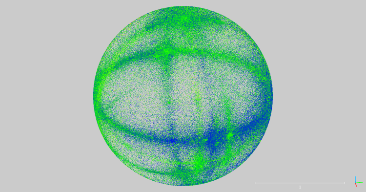 Vectors represented on the surface of a sphere
With features detected across all scans, a registration can then be performed. This involves a fit of the detected elements across the scans and tries to achieve the lowest possible residuals across all matched elements.
To simplify the registration process, instead of estimating the transformation parameters, correct coordinates can be provided from an external survey performed with a total station. Picking up the targets and the scan positions in this way effectively registers the scans by propagating the coordinates of the survey into the scans. This georeferencing of the scans allows for the point clouds to be instantly positioned within an existing survey coordinate framework, where local or global coordinates are used across a wider site.
Data-driven registration simplifies what is currently a more time-consuming and complex method, saving a considerable amount of time on standard projects whilst saving potentially vast amounts of time on larger scanned data sets.