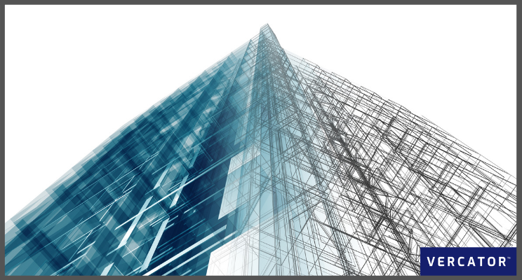
LiDAR is fast becoming a vital technology for civil engineering companies throughout the world. It’s proving crucial in transitioning the world of civil and construction engineering from 2D paper-based to 3D digital design. Advances in LiDAR processing are rapidly expanding the number of viable use cases within construction and civil engineering. Understanding these applications and the technology that makes them possible is critical to improve outcomes in 2021 and beyond.
Fundamentally, any technology that can streamline projects by improving measurement, productivity and processes will naturally be in demand. By using advanced point cloud data registration, a whole new world of opportunities is emerging for the use of LiDAR scanners — and their applications go way beyond surveying.
1. PlanningCivil engineering projects are inherently large and complex. A project needs survey reports, long-range plans, maps, and data to plan and design projects. But engineers also have to manage construction costs, government regulations and potential environmental hazards during the planning and risk analysis — and LiDAR is making a big contribution.
Why it's important
Complex projects need digital tools. You cannot realise the benefits of applying digital techniques to civil engineering projects if they cannot be translated back to the real spaces they represent. Before LiDAR, much of the data wasn't accurate or current enough to enable the exploitation of digital technology for efficient planning.
How LIDAR improves outcomes
The ability to pull the real world into a digital space and then cross-check results with planning data is invaluable. Matching physical space with digital models is precisely what LiDAR provides.
The use of a LIDAR based model as "one source of truth" on a project improves collaboration, not to mention the technology is highly adaptable to remote-working practices. The increased application of BIM within civil engineering and construction increases the value of this type of investment. BIM methodologies work to collate all the information you collect through LiDAR. LiDAR can inform BIM schematics and connect those models to physical space. Stakeholders can be brought on board in the early stages of the project, and with teams working together throughout the planning process, productivity and quality can be improved — in the office, or from your laptop at home. Data can be easily shared, limiting the risk of errors from miscommunication.
Novel planning applications
- Urban planning: By producing a 3D model of a scanned area, projects can be formulated, planned and tested virtually using LiDAR data and point cloud registration software. Stakeholders can simulate stages of a project to test the interactions and practicalities of designs and structures.
- Visualisation: Three-dimensional walkthroughs (using AR or VR) can impact the early stages of the design process. Three-dimensional models are easier to communicate design intent. They make it easier for a range of stakeholders to compare and evaluate design options.
- Collaboration: Collaboration between engineers, project managers, and architects can often be a lengthy process. LiDAR data can be shared using point cloud processing software, to support collaborative efforts, giving the entire team access to the most up-to-date information.
2. Monitoring
Many civil engineering structures have to be permanently monitored to provide early warning of structural failure or the need for remediation work. This Structural Health Monitoring (SHM) is essential if structures are used beyond their expected lifetime.
Why this is important
Many civil infrastructures, especially bridges, were constructed in the late 1940s. While still in operation, they need to be monitored to assess their safety. For example, along with other creaking infrastructure, the US sewer system is estimated to pour out 1.26 trillion gallons of untreated sewage each year. There is a strong case for detailed monitoring.
How LiDAR improves outcomes
LiDAR data can pick out small details, such as the condition of structures, so if a building or piece of infrastructure is in danger of falling into neglect, LiDAR can help identify it.
Even in new projects, techniques such as Scan-to-BIM and BIM-to-Field can feed data to and from the site to ensure the real-world matches the building model. Each can be modified to ensure that they keep aligned leaving a complete, up-to-date record for hand over to in-life management and ongoing monitoring. When used in tandem, LiDAR and BIM processes create a symbiotic and virtuous cycle — where one informs the other, continuously generating real-time snapshots of reality.
Novel Monitoring applications
- Sewer surveys: The remote nature of LiDAR is crucial to surveying and monitoring the sections of a sewer line that are inaccessible to humans. A robotic vehicle or even a drone can be sent down sewers to make a detailed interior system survey.
- Tunnel surveying: LiDAR is extremely useful in measuring detail for tunnels built to accommodate railways tracks or roads. The technology can be used to analyse, assess, and model a tunnel even before it is constructed.
3. Safety
Civil Engineers have a crucial role in ensuring that the workforce and the public's safety are prioritised above all else. Of course, monitoring (as discussed above) is influenced by safety, however, there are additional safety considerations at play that impact the construction process too.
Why this is important
Whether dealing with minor hazards or reducing the potential for major accidents, managing safety risks is an essential requirement for civil engineers. It is not a problem that is declining. For example, 20% of worker deaths in the US are in construction, while construction workers only make up only 6% of the workforce.
How LiDAR improves outcomes
Using LiDAR for “prevention through design” enhances safety. For example, during the design phase, engineers can prioritise the well-being of on-site personnel. This can be as simple as incorporating anchor points in places where workers are at high risk of falling.
Other safety factors include using accurate LiDAR data for prefabrication in controlled environments or using LiDAR-based automation and robotics in dangerous areas.
Novel safety applications
- Landslide analysis: In geology, a combination of airborne LIDAR and GPS is evolving into a vital tool for fault analysis and measurement. Using cloud-based registration software, Airborne LIDAR can be combined with more detailed terrestrial LiDAR to monitor massive areas such as natural glaciers or man-made quarries.
- Flood risk mapping: LiDAR is one of the fastest and most accurate methods of producing a Digital Elevation Model (DEM). Using the LiDAR-derived DEM, hydrologists can predict the extent of floods and work out mitigation and remediation strategies.
4. Sustainability
Sustainable development is now central to civil engineering. The Institution of Civil Engineers has already acknowledged the civil engineering sector's part in building a more sustainable future. It has also emphasised how important it is for companies to collaborate to ensure that green targets are met.
Why this is important
There is a growing worldwide awareness of carbon footprints and CO2 emissions – and the effect these are having on our environment. By 2050, the UK Government aims to cut carbon emissions by at least 80%, compared with the 1990 baseline figure. Civil engineering projects have historically been a significant contributor to the use of resources and environmental pollution.
How LiDAR improves outcomes
LiDAR-informed construction projects lend themselves to new sustainable techniques such as prefabrication. Smart cities can be created to minimise environmental impact and maximise resources. Deploying this mapping technology to an entire country poses the possibility of delivering a new kind of controlled planning on a grand scale. Planning is paramount for sustainability, and generally — and LiDAR-informed construction projects can help minimise errors during construction too, creating more streamlined and efficient workflows.
Novel sustainability applications
- Ecological, geological and land classification: This type of classification is performed to provide physical and biological information of a landscape. The information gathered can then help with the sustainable management of the landscape. LiDAR is fundamental to building a comprehensive map of the land.
- Green Materials: Building materials represent a $1trillion global industry; materials usually account for over half the total cost of projects. Digital design, driven by LiDAR scanning and BIM, are enabling new requirements to come to the fore, including:
- Green construction: materials and technologies with lower carbon footprints.
- Cost efficiency: structural change in the choice of materials – as in the prefabrication example or the promise of 3D printed materials.
Software choices will direct your application options
LiDAR is changing the world, bridging the gap between the physical and the digital. The wide-scale adoption of scanning and reality capture in civil engineering is bringing the combined promise of flexibility and efficiency, But only if we can make use of the hundreds of scans these new applications will generate.
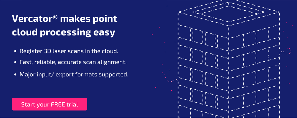
The fundamental challenge with LiDAR and point clouds is processing time and cost. Realistically, what’s making these expanding applications possible is automation that’s able to reduce costs and remove barriers to entry — delivering fast access to high-quality reality capture outcomes. Making the automation of point cloud processing a reality is our central goal at Vercator. Our vector-based, multi-stage and cloud-ready processing algorithms make it possible for hand-off and accelerated registration that can transform workflows and expand use case possibilities.
The developments in reality capture are only just beginning. New algorithms, using AI to combine multiple scan types — and the increasing application of mobile scanning techniques like SLAM — continue to improve access and outcomes. The challenge is finding software that’s able to keep up and deliver seamless workflows across all of the different reality capture outcomes that are now available. If you want to see what Vercator can do for you, check out our free trial or download our eBook — Point Cloud Processing Has Changed.