

Rapid technological advances have become normal in modern society. The tech-heavy world of 3D surveying is no exception. Advances in hardware and software are changing best practices and opening new possibilities for the application of reality capture technology. Needs within the construction industry, in particular, have driven improvements in speed, efficiency, and cost-savings — creating exciting possibilities to improve how surveying technology gets used across the board.
Most notably, 2021 trends highlight the paths surveyors need to follow to find their footing in a landscape that was impossible to foresee. Getting a firm grip sooner rather than later can lead to a whole range of digitisation benefits in an increasingly remote landscape, with cost-cutting forever at their heart.
The question is, what exactly do 3D surveying trends look like right now, and how can you adapt to stay ahead? The critical trends in 2021 are what we intend to uncover here and now. Let’s get started!
Trend # 1: Mobile scanning and SLAM
The move from static to mobile scanning is a critical goal that will improve the accessibility and simplicity of scanning workflows. GNSS-enabled scanning has a well-established track record in large outdoor surveying, but can’t deliver within built-environments that present limited satellite connectivity. This is where SLAM is changing mobile scanning possibilities.
SLAM (Simultaneous Localisation and Mapping) was originally designed to help autonomous robots navigate their surroundings. Now, the same process and technique is being applied by surveyors to quickly capture spatial data using mobile scanners entirely independent of GNSS positioning. Brands like GeoSlam, Paracosm and NavVis have SLAM-enabled scanners on the market, and these scanners are being used right now. SLAM offers key benefits including:
- Simple, accelerated workflows
- Improved data engagement
- Increased environmental interaction
- Easier deployment
Ultimately, SLAM algorithms allow surveyors to map unknown spaces while using that same map to track their location. While SLAM holds undeniable benefits on the speed front, it doesn’t quite offer the complete package, especially where precision is concerned. The additional uncertainty created by the technique produces rougher outcomes. The trick is figuring out where SLAM can be best applied, and using the process only where appropriate.
Strategies for adoption
Predominantly, success with SLAM methodologies comes down to two key factors — knowledge of where SLAM can be useful, and implementation of software that makes it so.
Undeniably, this trend is taking off for good reason, and is changing the face of rough mapping. But surveyors looking to create accurate scan-to-BIM (Building Information Modelling) data for exact measurements will still need to look at static scanners to capture the details they need.
The challenge using SLAM is simplifying the process of combining multiple types of data sets within a single output — making it possible to dynamically switch between scan types. This means using cloud-based tools that have robust post-processing management capabilities, and can effectively pull in information from any number of inputs.
Suggested reading: If you want to learn more about SLAM and combining multiple data sets, check out our free ebook — How SLAM Enables the Evolution of Wearable Reality Capture Technology.
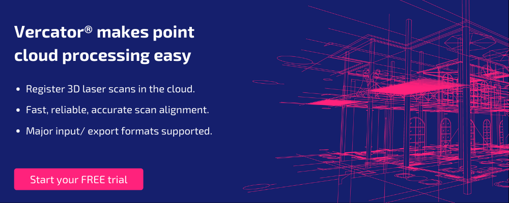
Trend # 2: Point cloud processing in the cloud
Point clouds processing has historically been one of the more laborious aspects of generating a 3D surveying model. Although mobile scanning is changing how and when point cloud registration needs to occur, the cloud offers benefits to both mobile and static point cloud processing that are transforming workflows. The cloud has the potential to change point cloud processing best practices for three reasons:
- Scalability: Cloud resources can scale on demand. That means, with the right software, it’s possible to parallelise tasks and execute multiple registrations simultaneously. This can dramatically accelerate processing and registration, even for the largest data sets.
- Access: Cloud resources are available anywhere. Particularly with the advent of 5G, it’s possible to access tools and CPU power remotely. This makes registration from the field possible, as well as the accommodation of remote working.
- Sharing: Cloud files are easier to share and improve collaboration. Working in the cloud simplifies the delivery of outputs and makes it possible to get input from multiple specialists throughout a project.
A recent RICS study revealed that cloud technology has enjoyed increases of 60-68% among surveyors. What’s more, 95% of respondents could see how the cloud can improve processing time, remote collaboration, agility and more.
Strategies for adoption
Cloud adoption is all about software choices. You need registration software that is able to work in the cloud, and is able to deliver functionality that can take advantage of scalable cloud resources. At Vercator, cloud-based processing is something that we have worked hard to turn into a reality. Our multi-stage, vector-based registration not only automates tasks, but also front loads manual inputs. This type of registration algorithm is key to unlocking parallelisation and the scalable value of cloud-based resources.
You should also consider your integration with delivery systems for outputs. For example, BIM (Building Information Modelling) can further improve the collaboration capabilities delivered by the cloud.
Suggested reading: If you want to learn more about cloud adoption and cloud-based processing best practices, check out our ebook — Are You Ready for the Cloud?
Trend # 3: Improved data classification and extraction
Not only is it becoming easier to create and process 3D reality capture data, the technology to interpret and analyse that data is also improving. Automated data classification and object extraction make it possible to separate small subset elements within larger point cloud data sets. This makes it far easier to use this reality capture data to actually interpret physical space — rather than simply mapping it.
Ultimately, improvements in this key area are the touchstone on which many other trends ride. Object detection and data classification expand the use cases for 3D data application, and increase the value of ongoing operations. Rather than having to manually sift through registered data sets, analysis of what is contained within them can be exported and viewed directly.
Implementing more efficient classification and extraction methods can help surveyors to enjoy benefits that are guaranteed to prove essential this year, including:
- More usable data for less
- Unprecedented efficiency
- Substantially easier access to data sets
- The ability to cross-collate data for reliability
Strategies for adoption
Like with cloud-based processing, effective classification and extraction comes down to software and automation. In many ways, every trend on this list is moving towards this goal, with SLAM methodologies already taking a lot of the manual work out of mapping, while the introduction of cloud computing to your cloud point processing takes a lot of the work out of your processes. But, the speed and efficiency that 2021 requires mean surveyors need to take those benefits one step further by waving goodbye to manual processes altogether.
When done right, automation done right can save time. What’s more, these changes can ensure that you’re better able to use your data than ever before. Far from leaving the role of the surveyor behind, this could see usage soaring as mapping becomes easier to access, and value becomes plain to all.
Software is more important than hardware
Each of these trends may cater to a different part of your surveying journey, but they ultimately point to one thing – software is more important than hardware right now. In fact, you’ll likely struggle to see any real results from the hardware you implement this year if you don’t take at least some time to think about the software behind it.
Vercator offers the ability to do just that, with boundary-pushing development that saves you from having to worry about what’s hot in the surveying world. Rather, our processing tools provide you with everything you need to compete in this fast-changing market. Get in touch and try them for free today to see just how much that can catapult your surveying and reality capture capabilities.
Suggested reading: If you want to learn more about the power of a software-focused approach to 3D reality capture, check out our ebook — A Guide to 3D Laser Scanning Software.

Tags: pointcloud, surveying, surveyors, SLAM
