
Civil engineering is one of the oldest engineering disciplines. It has existed since the first human settlement and enabled the massive construction projects of the ancient world. Technology has always been central to civil engineering development — now, digital technology is in the process of making a game-changing impact.
Emerging fields such as reality capture and artificial intelligence have sent shockwaves through many industries. Now it’s the turn of civil engineering and construction. The digital landscape is changing at an ever-increasing speed. Civil engineers can no longer question if they are going to embrace digitalisation, but when and how. This article is about defining the core technologies that are shaping the future of civil engineering. Let’s get started.
BIM is transforming best practice
One of the fundamental building blocks for digitalisation in construction is Building Information Modelling (BIM). BIM has taken several years to become established and was defined in evolutionary stages from BIM Level 1 to BIM Level 3. It is fair to say that the database-centric BIM Level 3 is the only one we need to pay attention to now. However, if you want more details, check out our ultimate guide to BIM.
Why BIM is so important
BIM is a 3D modelling process to plan, design, modify and manage buildings and their infrastructure. It’s a “single-source-of-truth” in construction projects which supports coordinated management during the entire lifecycle from the project plan to design, build, operation and maintenance.
Adopting BIM is important to civil engineering as it enables better collaboration, with many stakeholders adding to the same set of shared assets (architecture, civil, plant, construction, structures etc.). It reduces cost and improves quality by enabling ongoing review and updates in real-time.
The advantage of BIM is not limited to moving from the design stage to the on-site build. By keeping the model up to date and feeding back accurate data from the project site, the BIM model becomes an ongoing digital record of the construction.
What to expect next from BIM
Expectations are that further adoption of BIM will be the catalyst for change in broader civil engineering. Planning on a more expansive basis (e.g. city scale) can be undertaken with greater detail and precision – leading to the adoption of what is known as a digital twin.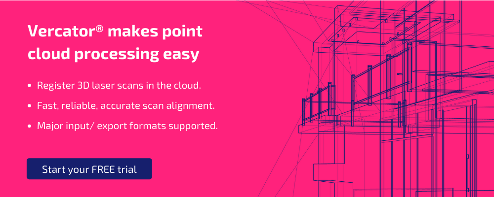
Reality capture puts BIM in touch with physical space
BIM is valuable on its own. But where things start to get even more transformative is the application of reality capture technology within a BIM context. The improvement of both scanner hardware and software enables the rapid deployment of highly precise reality capture technology to update BIM models and cross-check execution. There needs to be a flow of data to and from the site, especially if it involves existing buildings or geographic features. This has become known as Scan-to-BIM (when transferring data to the model), and BIM-to-Field when transferring the other way.
- Scan-to-BIM creates a point cloud digital representation of the site's existing conditions, ensuring the physical and functional characteristics are updated in BIM. Whether designing a new structure or renovating existing work, scan-to-BIM makes the process easier and provides results that can be shared across the entire project workflow.
- BIM-to-Field takes the digital data in an information model and uses it to ensure accurate construction, operations or maintenance on site.
Adopting these approaches will have a significant impact on quality assurance across the entire civil engineering process. By using scanning technology to compare plans to what is actually happening, you minimise the possibility of mistakes going undetected.
How reality capture and BIM can be applied in practice
Once you have a detailed view of the site, novel techniques can be applied with confidence. For example, prefabricated components can be reviewed with scan-to-BIM to ensure accuracy.
The use of prefabricated materials will dramatically decrease civil engineering costs and time of execution. It will allow smaller teams to do more while spending less time on site. It’s also a precursor to the broader adoption of experimental production techniques such as 3D printing or adopting new materials such as 3D printed sandstone, graphene and self-healing concrete.
Using laser scanner technology will also make it easier to carry out projects in sensitive or inaccessible areas. With more data available about the site, a more accurate digital twin model can be created. Using this model, engineers can take precautions to work around protected and potentially dangerous areas — making the process safer and more efficient.
Using new types of reality capture technology
Scan technology is not standing still and is opening many doors for civil engineering projects. SLAM (Simultaneous Localisation and Mapping) is a prime example. Based on a set of algorithmic techniques, SLAM creates a map of an environment while using that map to track its location. The primary impetus for this technology has been in self-drive cars, but it’s rapidly being adopted for broader reality capture applications.
SLAM uses devices and sensors to collect a combination of location data. From visible data (cameras), non-visible data (RADAR, SONAR, LiDAR) to basic positional data from Inertial Measurement Units (IMU). Sensor data are combined to build a picture of the surrounding environment.
SLAM makes it far more straightforward and faster to capture site data and produce a 3D map. However, it cannot produce the same level of precision as traditional LiDAR. Fundamentally, for SLAM to be truly useful, it needs to be combined with other types of reality capture tools — and that means access to software that can combine these data sets without disrupting workflows.
A flexible and automated software platform (accessible through the cloud) is critical to take mobile SLAM data sets and rapidly align them with other data types. Processing and registration have historically been the roadblock preventing greater access to composite point cloud data such as SLAM. The introduction of multi-stage vector analysis has opened up opportunities for the industry and for far more people to access and use the technology. This is a point to which we will return.
Suggested reading: For more information on SLAM, check out our eBook — How SLAM Enables the Evolution of Wearable Reality Capture Technology.
Improved ability to execute complex tasks
Technology is meaningless without tangible outcomes. The value of reality capture lies in the data and information provided to make informed decisions and, ultimately, keep projects on time, on budget, and in specification. Let's look at some high-impact areas this technology will change.
Before construction
Scanners are extremely useful at informing planning with real-world conditions — capturing detailed site data before developing a model. This is particularly valuable in renovation projects or sensitive geographic sites. Any project that needs to consider its surrounding environment (built or natural) can be improved by this process.
During construction
The construction phase of an engineering project requires some of the most technologically advanced applications. There are a wide range of ways that reality capture technology is changing best practices.
- Cross-checking outputs with plans: Different stages of the construction process can be scanned and cross-referenced against planning to spot anomalies or errors. This can also be carried out on a component basis — scanning parts off-site before shipping them for on-site use.
- Robotics and automation: Intelligent machinery can be used to perform repetitive tasks and be smart enough to maintain itself. For example, when a cement mixer runs low on cement. Drones can gather site data and increasingly deliver materials, reducing the number of vehicles required on-site.
- Increased safety: Drones can also be used for site safety. They can monitor sites and identify any dangerous areas and give a safety manager a quick view of the site without being physically present. Using geo-location, danger areas can be identified and systems set up to alert workers if they enter the area.
- Reduced carbon footprint: With the use of intelligent technology, the carbon footprint of a construction development can be significantly reduced. For example, by having sensors in vehicles to switch off the engines when idle, or by measuring wastage and using that data for better planning to inform the layout of a development to reduce travel across sites.
After construction
After construction projects, one of the most impactful changes made by technology comes back to BIM. BIM helps in replacing thousands of drawings by providing a detailed 3D model on a digital platform. Maintenance is improved by the site information being totally up to date. Making any updates in the future will also be included within the model.
A data-driven future
Construction technology will transform civil engineering into a more digital business. With the move towards digital technology, software becomes the central component driving outcomes. Although hardware choices are still important, it’s critical to think about how your systems interconnect, the types of management tools used, and how your systems process information.
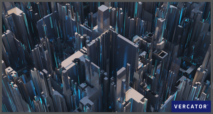
At Vercator, we’ve pioneered a number of innovations in reality capture, point cloud processing and laser scanning. By taking a software-focused approach to digital innovation, we’ve been able to close data silos and create cloud-based point cloud processing software that is far more effective and efficient than traditional processes.
If you want to find out more about how new construction methods and flexible design processes are emerging due to the power of BIM, SLAM and point clouds, download our guide to Modernising Your Use of Laser Scanners and 3D Modelling, or get in touch and trial Vercator for free. 
Tags: bim, surveyors, construction, reality capture
